
Introduction & Brand Overview
Brand Overview and Positioning
2GIS is a prominent technology enterprise specializing in comprehensive digital mapping, autonomous navigation systems, and detailed urban directories. Operating across more than 1,400 cities internationally, the brand’s core competitive advantage is its robust offline functionality. By allowing users to download highly detailed maps—complete with floor plans, exact building entrances, and public transport schedules—2GIS ensures uninterrupted navigation regardless of internet connectivity. The brand positions itself not merely as a transit tool from point A to point B, but as an indispensable daily urban assistant. It cultivates a high level of user trust by providing absolute accuracy and reliability in the fast-paced rhythm of modern city life.
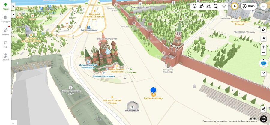
A screenshot of the 3D map from the official website
Target Audience
The platform operates on a dual-audience model, serving both B2C and B2B segments. The primary consumer demographic consists of active urban residents aged 18 to 45—encompassing daily commuters, drivers, pedestrians, and tourists seeking reliable orientation in new environments. Psychographically, this audience prioritizes accuracy, speed, and time-saving digital solutions. Simultaneously, the B2B segment targets small and medium-sized enterprises (SMEs), offering them a highly localized platform for customer acquisition through directory listings and geo-contextual advertising.
Communication Channels
Digital Ecosystem and Social Media
To effectively engage its diverse audience, 2GIS maintains a strategic presence across multiple digital platforms, primarily VKontakte (VK), Telegram*, YouTube*, and Dzen, alongside a corporate blog on Habr targeting the professional IT community. On VKontakte, the communication focuses on community building through interactive polls, gamification, and practical app tips, maintaining a friendly and highly supportive tone of voice. Conversely, the Telegram* channel serves as an informative hub for product updates, team insights, and immediate announcements regarding new city integrations. YouTube* is utilized for visual storytelling, featuring video tutorials and real-life scenario advertisements.
*banned in Russia
PR Strategy and Special Projects
The public relations strategy of 2GIS is built upon product education, gamification, and corporate social responsibility (CSR). The brand frequently launches interactive promotional games offering partner discounts, and educational campaigns highlighting niche features like «Friends on the Map.» A significant pillar of their PR is inclusive design and social responsibility, prominently featuring updates that aid visually impaired users. Overall, the communication strategy remains highly pragmatic—rather than selling abstract emotions, 2GIS demonstrates tangible ways to optimize the urban experience.

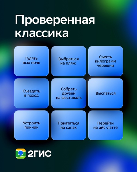
Memes and games in the publication
Theoretical Framework
Affordances Theory
Originating from ecological psychology (Gibson, 1979) and later adapted for digital design by Donald Norman (1999), Affordances Theory explains how the perceived and actual properties of an environment or object determine how it can be used. In a digital communication context, affordances are visual and structural clues that guide user behavior and shape their interaction with technology. Key digital affordances include visibility, editability, and association. Applying this theory to 2GIS allows us to analyze how the application’s interface design communicates possibilities for action, essentially acting as a silent dialogue between the brand and the user.
Dialogic Theory of Public Relations
Developed by Kent and Taylor (1998), Dialogic Theory provides a framework for analyzing how organizations ethically build and maintain quality, mutually beneficial relationships with their publics through two-way communication. Genuine dialogue requires five core principles: Mutuality (recognition of interconnectedness), Propinquity (immediacy and spontaneity), Empathy (supportive atmosphere), Risk (vulnerability and willingness to interact on public terms), and Commitment (genuineness). Furthermore, it necessitates the creation of functional «dialogic loops.» This theory is instrumental in evaluating the authenticity and effectiveness of 2GIS’s communication on its social media channels.
Analysis: Affordances Theory (Interface Communication)
Visual Cues and Reliability
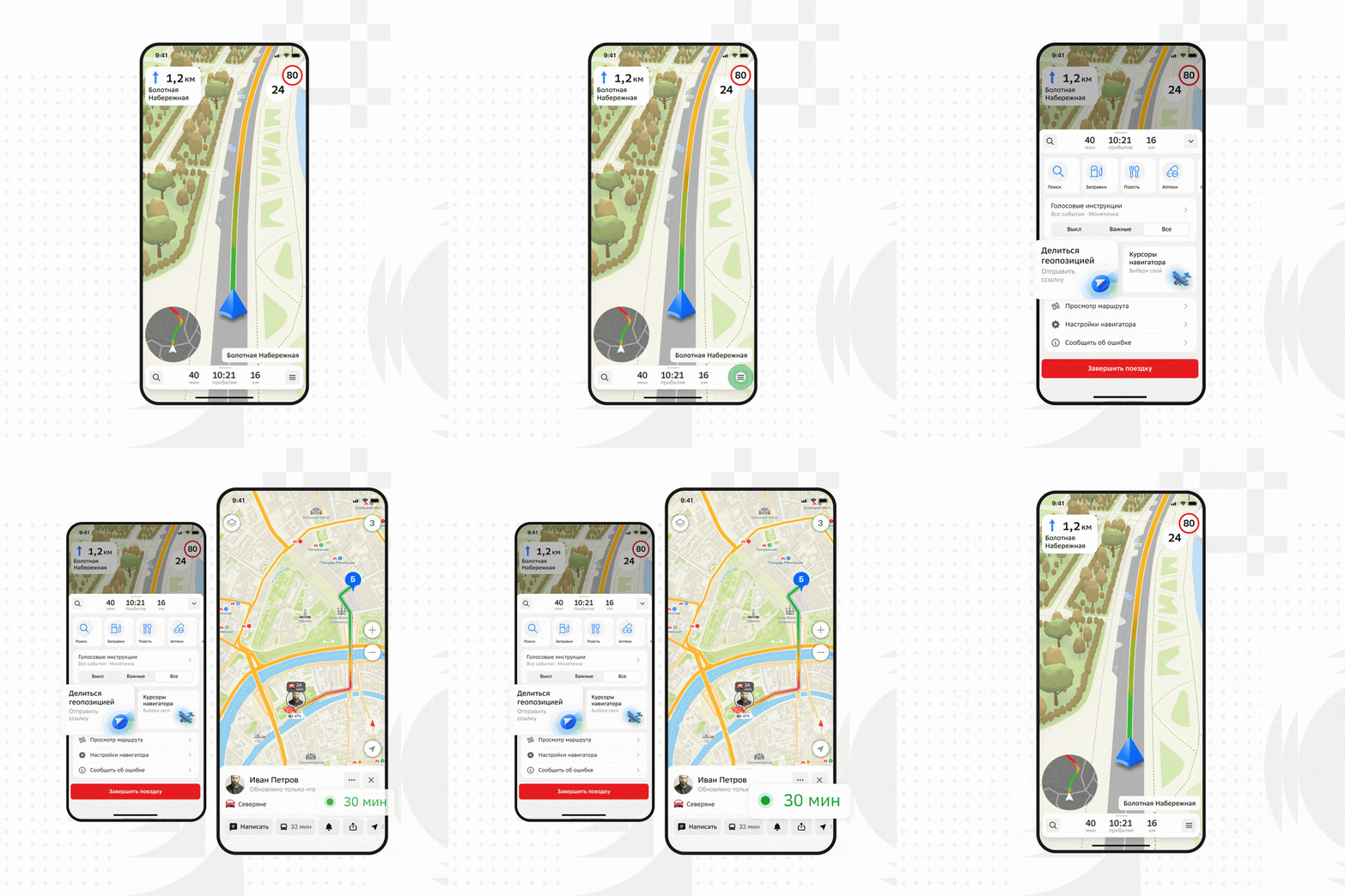
2GIS provides multiple affordances that seamlessly guide user interaction. A primary example is the prominent download icon placed next to city names. This visual property clearly indicates the possibility of action (saving maps) and directly communicates reliability, addressing the user’s need for offline orientation. Furthermore, color-coding (blue for routes, green for available transport) and intuitive directional buttons (the «Go» button) act as immediate navigation affordances, reducing cognitive load.
App interface
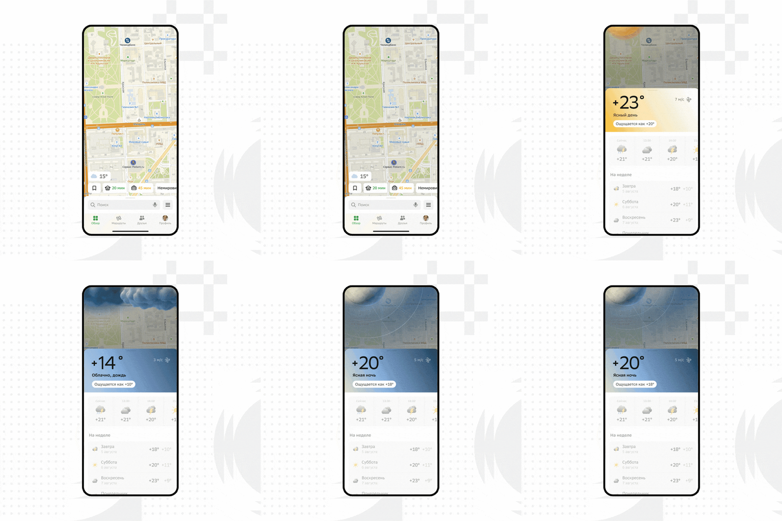
App interface
Social and Action-Oriented Affordances
The introduction of the «Friends on the Map» feature transforms the navigation tool into a platform for social coordination. User avatars displayed on the map create a strong social affordance, while chat icons suggest immediate possibilities for interaction. Additionally, business listings within the app offer action-oriented affordances: prominent «Call», «Build Route», and AI-assistant icons communicate to the user that immediate decision-making and interaction with local businesses are encouraged and facilitated.
Friends on the Map
Inclusive Design
A critical affordance related to the brand’s CSR is its support for screen readers. By ensuring all interface elements have proper audio labels, 2GIS provides an essential accessibility affordance for visually impaired users. This design choice communicates the brand’s commitment to inclusivity, allowing all demographics to navigate the urban environment independently.
2GIS on Android supports TalkBack and VoiceOver on iPhone
Analysis: Dialogic Theory (Social Communication)